
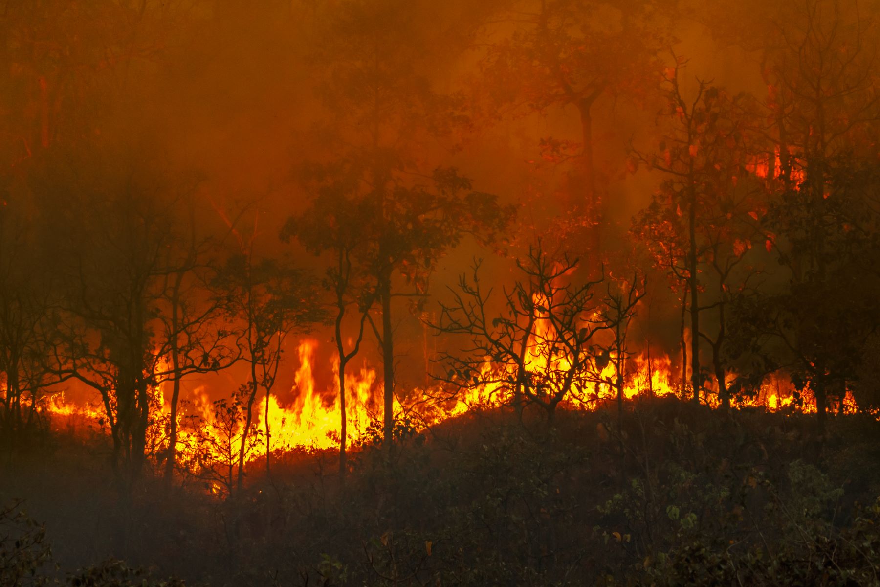
Los forest fires are a very serious problem that is further affected by some of the consequences of climate change such as droughts or heat waves. Prevention is the best way to avoid them.
The GAM Group – Applied Mechanics and Advanced Manufacturing of IQS, under the coordination of Dr. Marco Antonio Pérez Martínez, and in collaboration with the company COMSA, has developed an innovative satellite vision system to prevent forest fires in electrical distribution and transportation infrastructuresusing Machine Learning algorithms. The project, called ISAPREF, has been carried out within the framework of the INNOTEC 2021 call and with the support of ACCIÓ.
The Electrical energy transmission depends on electric towersvital to guarantee supply from production stations to consumers. However, these towers are located in places where uncontrolled growth of vegetation can occur around them, which entails a very high risk of fires and significant damage that entails economic and environmental costs.
With the aim of minimizing these risks, the ISAPREF project has developed a system capable of analyzing satellite and aerial images, generating a geolocation map that identifies areas with vegetation and possible threats for electrical infrastructure.
In this way, the maintenance brigades can have updated and accurate information about the state of the areas around power lines. For the development of the new system, machine learning algorithms have been used -Machine Learning-, based on semantic segmentation with convolutional neural networks.


Validated and effective tool against forest fires
The system was initially validated in controlled environments, using images captured by drones and airplanes. These tests allowed us to verify the basic functionality of the system, as well as adjust and improve the model by identifying possible limitations. During this phase, they used images of areas with vegetation and infrastructuresuch as roads, to evaluate the effectiveness of the system that helps prevent forest fires.
Subsequently, a validation was carried out in a larger environment, using real images captured by satellites in areas where the presence of vegetation was relevant. The results obtained were satisfactory in various scenarios, and showed that the system is capable of operating in real conditions and accurately detecting risk areas around electrical infrastructures.
The vision system developed in the ISAPREF project has led to satisfactory results in the different environments tested, which demonstrate its potential usefulness in real situations. It has shown effective functionality in controlled environments, both with high-resolution aerial images and satellite images, and the ability to operate in real areas and correctly identify areas of vegetation around electrical infrastructure, despite the complexity of scenarios and environmental variations.
The results obtained ensure that the system is well on its way to advancing to much higher levels of technological maturity. The following stages of the project must focus on expanding validation with real satellite imagesto ensure its effectiveness in a wider range of operating conditions and geographic scenarios.
Without a doubt this is excellent news, since the reality is that the best way to ‘putting out fires is effective management that prevents them from occurring, so all contributions in this regard are extremely valuable.