
In the current drought situation, knowing in detail all the dynamics of water is essential to manage water resources, which also includes the snow accumulated on the mountain peaks. A team from the University of Córdoba (UCO) has developed a pioneering system that allows us to know how long it takes for snow to melt and reach the rivers.
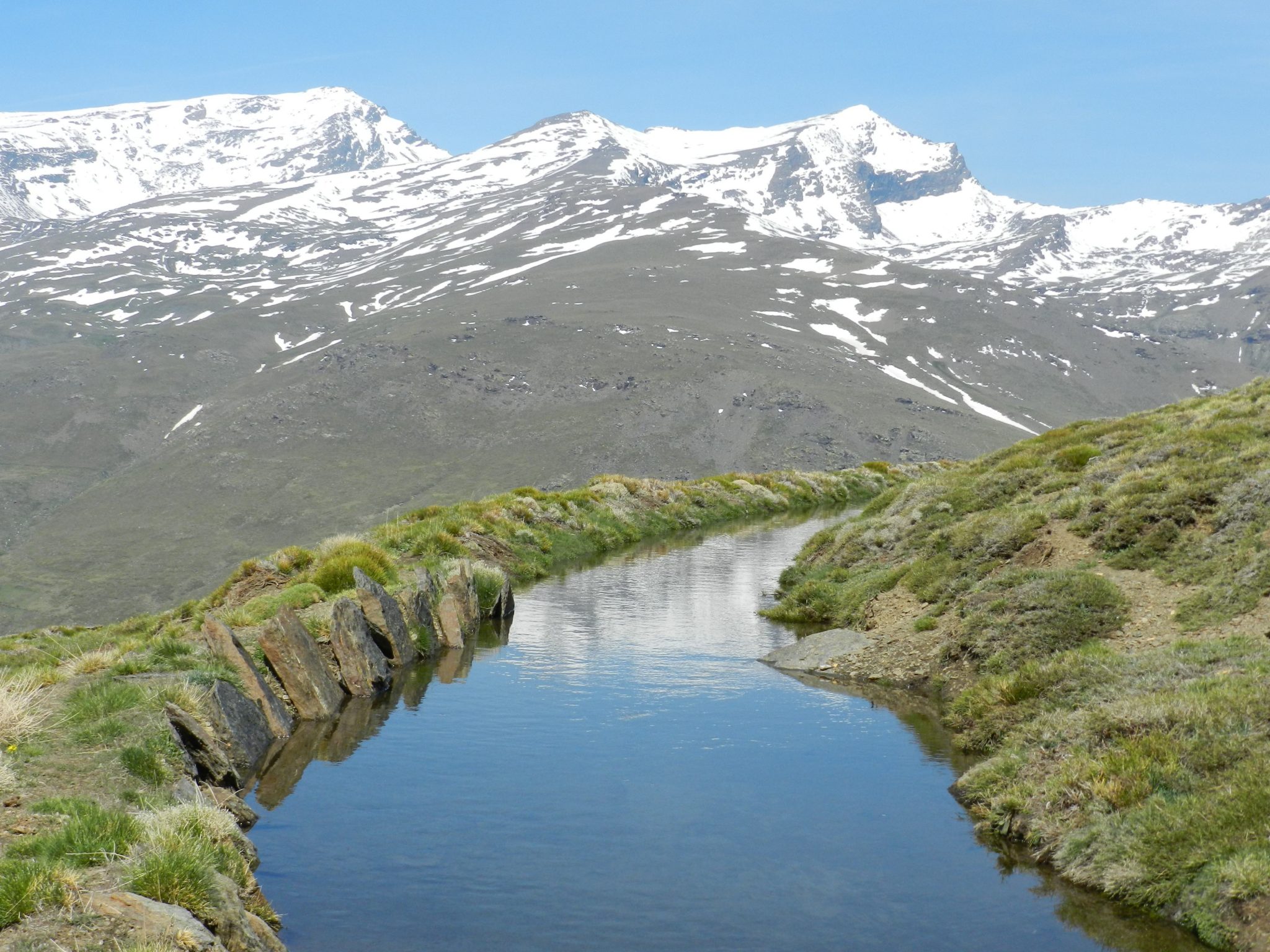
The Fluvial Dynamics and Hydrology (DFH) group of the María de Maeztu Excellence Unit – Department of Agronomy of the University of Córdoba (DAUCO) has been in charge of developing this new methodology that is based on satellite images. The studies have been carried out in the experimental area of the Poqueira Shelter, in Sierra Nevada, which, when applied to the entire Poqueira River basin, has allowed us to estimate the time it takes for the snow to reach the channel and feed the flow: a average of 21 days.
For this purpose, a characterization has been carried out using meteorological data, hydrological models, terrestrial images and satellite images, specifically from Sentinel-1 SAR. This satellite “allows us to characterize wet and dry snow, as it is sensitive to the presence of water in both the soil and snow layers,” explains researcher Pedro Torralbo.
Methodology to know how long it takes for snow to melt and reach the rivers
In this way, the team has detected four different types of melting onsets depending on the physical state of the snow, since a characteristic of the Mediterranean mountains is that “several total or partial melts occur throughout the year”, while contrary to what happens in alpine areas, “where the snow that accumulates in the mountains usually melts only once a year, at the beginning of spring when temperatures increase.”
With the results of this experimental area, explains researcher Rafael Pimentel, “we moved to the distributed scale, to the entire basin, to relate the moment of beginning of the fusion with the increase in flow in the river”, useful information for researchers. basin managers, since it allows them to anticipate the availability of water in the channels.
The work of the River Dynamics and Hydrology group has also proven that Sentinel-1 SAR images, which provide data every six days, are very effective in capturing not only the spring melt, but also all the melt cycles that occur. throughout the year in semi-arid mountain areas such as Sierra Nevada.