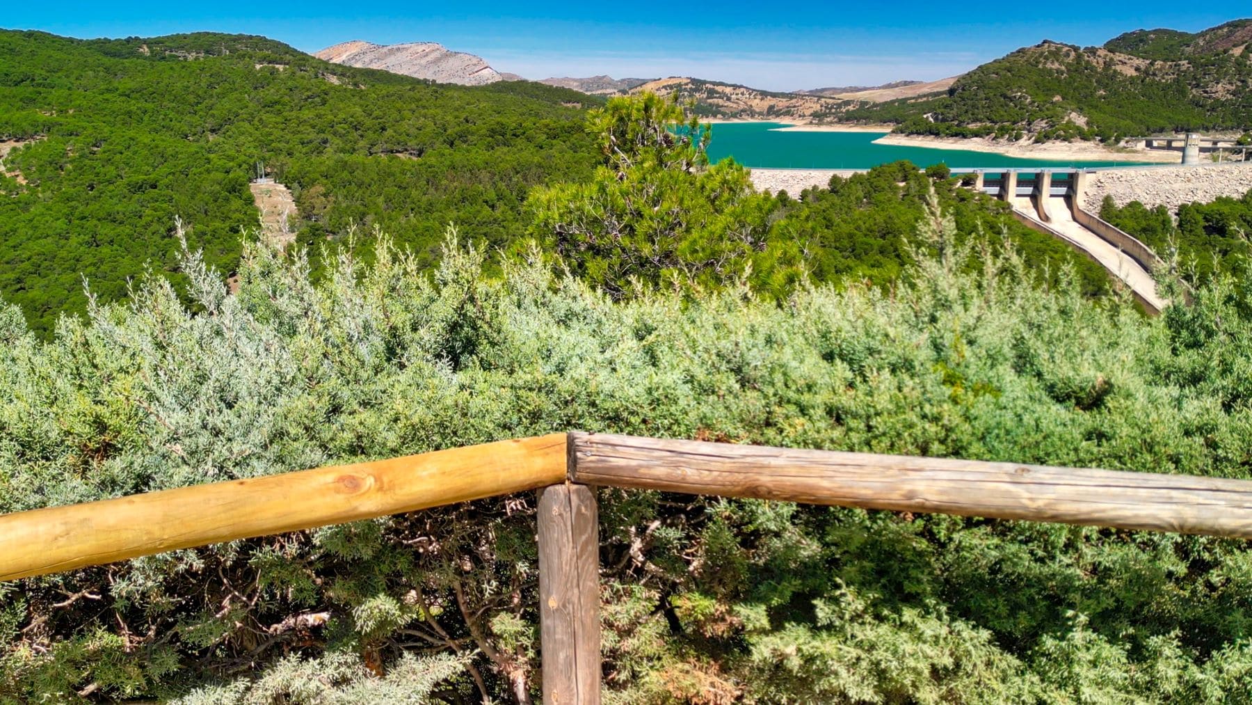
The Andalusian government has decided to increase the range of walking options in the regionespecially in the natural spaces protected thanks to the new digital tools made available to users.
He hiking In addition to being a sport that has more and more followers every day, it has also become one of the favorite outdoor leisure activities for a society increasingly concentrated in cities that long for a more contact with nature.
To meet this need, the Ministry of Sustainability and Environment of the Government of Andalusia makes a wide range of hiking trails available for public use in protected natural areas. A complete and varied network consisting of more than 430 routes for all target groups, with different levels of difficulty Enjoyment for the most expert hiker and the amateurof the federated athlete and the group of friends, the family with children, people with disabilities or the elderly.

All official routes fulfill a series of common essential functions: they channel visitor flows, absorb the consequences of visits and thus contribute to the conservation of protected areas, they facilitate people’s contact with the natural environment, improve their physical and mental well-being, the values of the natural spaces that increase awareness among visitors about their conservation and help to stimulate the rural areas they pass through, generating economies and business opportunities linked to their resources.
Technologies at the service of walking
Public use paths are therefore important parts of the Andalusia’s ecotourism offer and in the management of nature reserves. For this reason, the Junta de Andalucía has launched a new specific search engine for routes on the web portal Ventana del Visitante that allows you to easily locate them by pre-filtering by a series of parameters such as province, natural space, distance, type of division (linear/circular) , difficulty level, theme (shore, coastal, pasture, geological, climbing to peaks), as well as checking whether it is accessible to people with disabilities.

In this way, thanks to this new digital tool, the search can be adapted according to the preferences of each user, facilitating the subsequent consultation of the file for each route, as well as its cartographic visualization, which provides additional information on the description of it, how to get there, multimedia files, good practices and associated publications. It is also possible to view the various options offered after performing the searchsuch as locating a point via coordinates, measuring distances, areas or loading thematic layers.
This also applies to the tab Each route indicates whether or not it requires authorization with visitor quotas. and if so, it connects directly to the CUPOS telematics processor designed for automatic acquisition. With CUPOS you can currently manage permits for 15 hiking trails, spread over six nature reserves in four provinces. Last summer, 1,396 people took advantage of this process, although autumn is the time of highest demand, with many weekends selling out of available spaces.
Likewise, the link is provided with the recently renewed Camíname App, which has more than 90 of these routes included in your digital cataloguel, to be able to explore them without the need for field coverage and access their specific interpretive content.
The visitors window also has a new dedicated section hiking which provides general information about this activity in the nature reserves of Andalusia and provides direct access to the different types of routes depending on their main theme, as well as to good practices and related publications.
This section is in turn linked to the reservation center for planned activities (Andalusian Ecotourism), which has registered 16,000 new users this summer alone, where all activities can be consulted and booked online. organized hiking activities in Andalusian protected areasthe Ministry of Sustainability and the Environment has published 70 new route booklets for the routes offered that did not yet have this basic publication.
These brochures provide all the useful information for the hiker, including information on how to get there, parking availability, technical sheet, accessibility, map, protected areas, good practices and above all detailed interpretive content that reveals to the walker the natural and cultural values of the spaceor of course that it continues to involve it in its conservation. Similarly, the brochures of a further 152 marked routes have been updated and all translated into English.
In total There are already 370 routes for public use They have their route booklet, both in Spanish and English. All these publications are available digitally on the Visitor window where you can find a token for each path.

