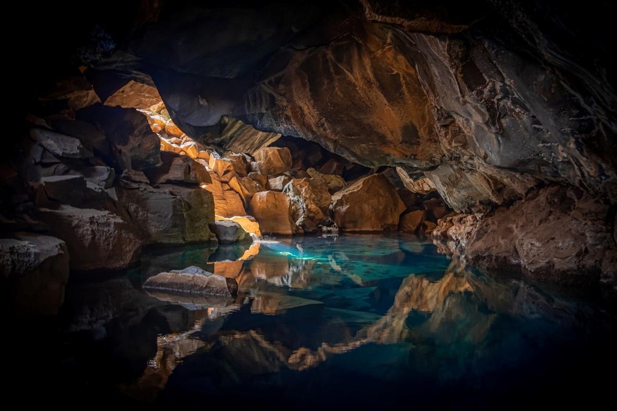
Los aquifers are formed when the Rainwater (rainwater) filters through various layers of permeable rock until it reaches an impermeable layer. The impermeable layer can be made of clay, granite, quartzite, etc., and above it accumulates water from a aquifer.
The water of a aquifer can remain underground or emerge to the surface through a spring or a well, the feed other masses or water courses (lakes, rivers, etc.).
Groundwater is a crucial source of fresh water for agriculture, human consumption and industry in general. However, these aquifers are endangered by climate change, which makes them more inaccessible, and their overuse, which threatens economies and ecosystems.
Scientists from the University of California in Santa Barbara (USA) have published in the journal Nature the largest assessment of groundwater levels worldwide to date, covering nearly 1,700 aquifers.
Although satellite maps provide information on storage trends, measure on site Monitoring wells and analyzing them on a global scale gives scientists and governments a broader view of trends.
Their results indicate that the general trend is a global decline in water resources, with a decrease of more than 0.5 meters per year in the 21st century, which represents a reduction of 71% of the aquifers. However, they also offer examples of management success and ways to resolve it.
Health status of aquifers
“This depletion can have a series of undesirable effects on the human water supply. For example, it affects a well’s ability to pump water to the surface, meaning it runs dry. Likewise, excessive pumping also causes seawater intrusion or quality degradation. And, since groundwater and surface water resources are often interconnected, such over-extraction can affect the amount of water available in rivers,” he says. Debra Perroneassociate professor at the American university in the Environmental Studies Program.
The research team already published in 2021 in Science another study that focused on constructed water wells. In this case, monitoring has been done on the influx of groundwater. “Monitoring wells give us information about supply, while groundwater wells give us data about demand,” explains Perrone.
Greater impact on aquifers in dry regions
The scientists collected data from national, subnational and different agency registries. In total, it lasted three years, two of which were dedicated to cleaning and classifying this data. “That’s what it takes to make sense of 300 million measurements of the water level of 1.5 million wells in the last 100 years,” they say.
They then transformed these figures into real information on global trends, finally reviewing more than 1,200 publications and reconstructing the boundaries of the aquifers in the research regions.
By defining 1,693 aquifer systems around the planet, they found that 36% of aquifers were declining by 0.1 meters per year, while 12% were declining rapidly at rates exceeding 0.5 meters per year.
Comparing these findings to groundwater depletion data from 1980 to 2000, the team found that 30% of the aquifers studied faced a accelerated depletion in the 21st centuryespecially in dry regions.
The deepening of these waters is more common in this climate, with accelerated decline especially common in arid and semi-arid cultivated lands. “An intuitive finding,” according to the lead co-author Scott Jasechko, professor at the Bren School of Environmental Sciences and Management at the same university.
“But it is one thing for something to be intuitive and quite another to show what is happening with real-world data,” he adds.
Perrone emphasizes: “Water is a critical resource for human consumption and agricultural and industrial production. Groundwater is especially important because it is a reliable, perennial source of water that can be used during drought, when there is less rainfall and the flow of our rivers decreases. The overexploitation of these groundwater resources could hinder adequate supply to key sectors during shortages.”
Reasons for moderate optimism about the state of aquifers
The researchers also found that 6% of aquifers in the data they increased 0.1 meters per year, while the 1% increased at a rate of 0.5 meters per year. This could be the result of reductions in groundwater consumption, the implementation of consumption policies, surface water transfers, or changes in land cover. and recharge projects managed. “This study shows that humans can change things with deliberate and concentrated efforts,” Jasechko emphasizes.
One of the examples is in Tucson, Arizona. The allocated water from the Colorado River is used to replenish the aquifer in the nearby Avra Valley. The project stores this resource for future use.
“Groundwater is often seen as a bank account. Intentionally replenishing aquifers allows us to store that water until a time of need,” says Jasechko. However, the withdrawals have caused the mighty river to decline at the surface. The Colorado rarely reaches its delta in the Gulf of California.
“Our work suggests that we can be cautiously optimistic, in that our data reveals more than 100 aquifers where groundwater declines have slowed.” slowed down, stopped or reversed. Cautious in the sense that the rates of decline in the levels of these waters are much greater than the rates of increase in the levels of groundwater: it is easier to make things worse than to improve them,” says Perrone.
Stored groundwater can also benefit the ecology of the region. In fact, while Perrone was preparing a research report in 2014, he found that aquifer recharge can store six times more water per dollar than surface reservoirs. Another option they propose is to focus on reducing demand.
The team is now focusing on examining how groundwater levels vary over time. in the context of climate change. Connecting these rates of change to actual well depths will provide better predictions of where access is at risk.

